By Pat Muller, Ready 2 Respond Trainer
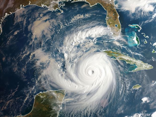
During hurricane season when storms often flood institutions and businesses, monitoring the the path and strength of those storms is an important part of any facility manager's responsibilities.
With so many government, media and private sources of storm and flooding information available online, where should you go first? Which organizations do a good job of monitoring hurricanes?
Here are our top 10 storm-related resources - bookmark this page for future reference:
- National Hurricane Center (NHC) - The NHC provides real-time updates, forecasts, and advisories on hurricanes affecting the U.S. coastline.
- NOAA/NWS Storm Prediction Center - Consolidates all storm activity including severe thunderstorms, fires, tornadoes and, of course, tropical storms and hurricanes.
- Federal Emergency Management Agency (FEMA) - FEMA offers resources and updates on disaster response and recovery efforts during hurricanes and other natural disasters.
- Mike’s Weather Page - Published by weather enthusiast Mike Boylan to aggregate weather information, especially Atlantic Ocean tropical storm models and real-time satellite imagery.
- Tropical Tidbits - Also published by a weather enthusiast as a “large toolbox of real-time data visualizations for weather analysis and forecasting,” per its founder Levi Cowan.
- Southeast Coastal Hurricane Resources (SECOORA) - Southeast Coastal Ocean Observing Regional Association is the coastal ocean observing system for the Southeast US. Similar sites are available for hurricane tracking, storm surge, flooding, etc. for other regions, eg, Gulf of Mexico (GCOOS) and Mid-Atlantic (MARACOOS) Storm Resource Center
- NOAA Coastal Inundation Dashboard - Provides both a map-based view where users can easily view coastal flooding information geospatially and a more detailed station view where real-time and historical data for a specific location are highlighted.
- EarthCam - Hurricane Cams - EarthCam offers live webcam feeds from various locations along the U.S. coastline, allowing you to monitor the impact of hurricanes in real-time.
- NASA Flood Disaster Page - Provides satellite observations, data systems and modeling including tools for helping local communities in pre-flood, active and post-flood situations
- Google Flood Hub - Provides flood data and forecasts up to 7 days in advance, including local river flood maps and real-time flood forecasts and alerts based on Google’s AI models and global data sources.
Our team of long-time water damage experts stands ready to assist your team with immediate advice or to schedule an assessment of your institution’s readiness. Please contact us at 888-208-5401 or at Ready2Respond@r2rprogram.com to take action.
Share:
What’s Involved in a Ready 2 Respond Assessment?
Guide to Floodwater Safety: When Is It Okay to Handle In-House?